
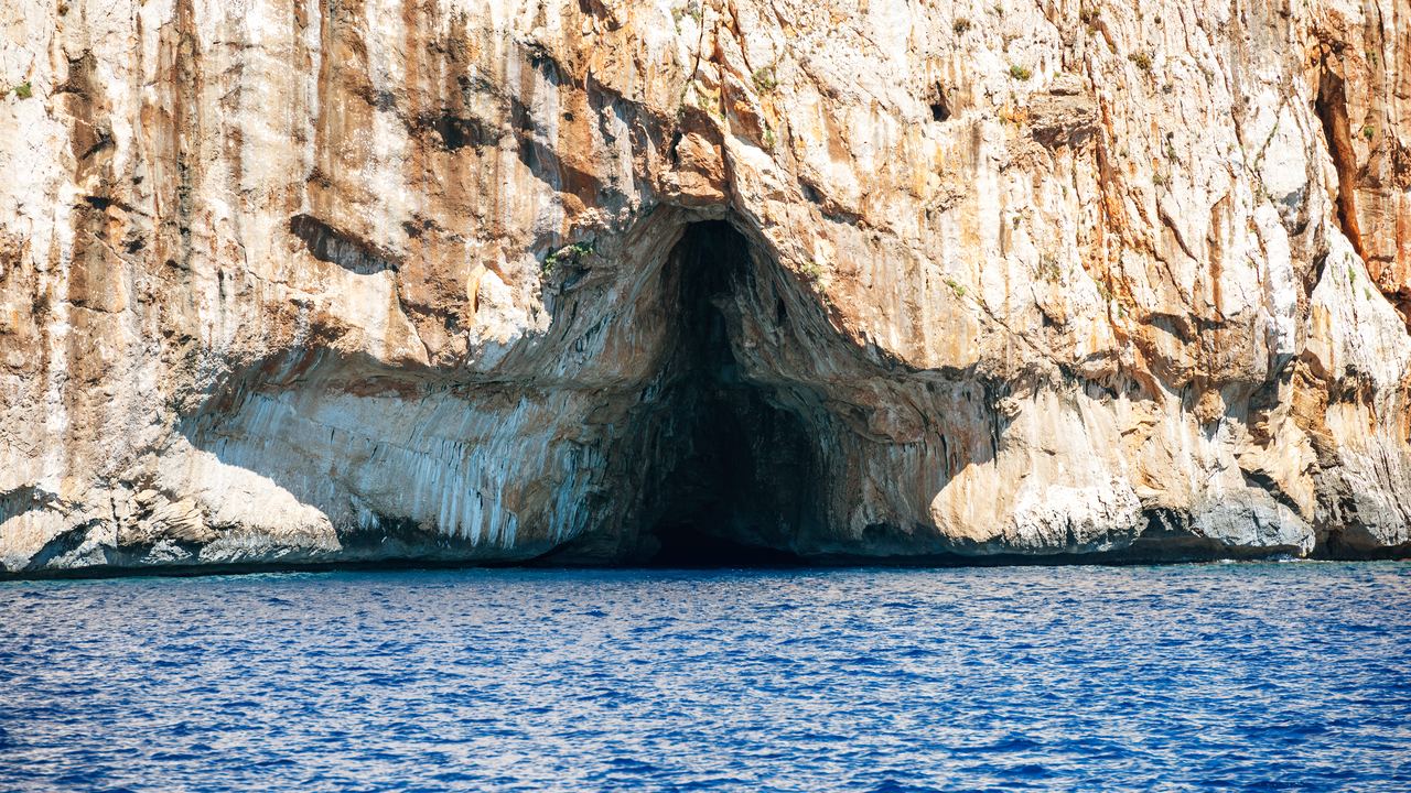
The National Park Service says the most common kind of cave is the solution cave, formed by the dissolving of the rock along joints, faults and layers. Postojna and Phong Nha fit it. Other destinations on this site come from other processes, and the difference decides if you need a life jacket, a warm layer, or a guide who looks at the ice that morning.
Seven processes make the caves on this site: dissolution, waves, lava, ice, collapse, mining and digging. Each section below takes one, names a place where you can book it, and says what the process changes for a visitor. The vocabulary (karst, doline, speleothem) sits in the cave glossary. The long versions have their own pages: cenotes, cave temperature, cave wildlife, cave facts and history and the cave FAQ.
What are the seven ways a cave forms?
| Route | What makes the void | Material | Example on this site |
|---|---|---|---|
| Dissolution | Slightly acidic water eats rock along cracks and layers | Limestone, marble, dolomite, gypsum, halite | Postojna Cave, Slovenia; Phong Nha, Vietnam |
| Waves | Waves and the sand and stones they carry wear out weak zones in a cliff | Nearly any rock | Blue Grotto, Capri; Benagil, Portugal |
| Lava | A flow crusts over, keeps running underneath, then drains | Volcanic rock | None sold; mentioned on the Iceland and Portugal pages |
| Ice | Meltwater melts a tunnel through a glacier; or cold air holds ice in a rock cave | Glacier ice or rock | Iceland ice caves |
| Collapse | A roof falls into a void below and opens it to the surface | Limestone above the water table | Cenotes near Tulum, Mexico |
| Mining | People cut out a mineral or building stone | Rock salt, limestone, tuff | Wieliczka, Poland; Paris; Naples |
| Digging | People excavate shelter, tombs or tunnels | Soft rock and soil | Derinkuyu, Turkey; Rome catacombs; Cu Chi |
Every example is a destination page with tours: Postojna, Phong Nha, Capri, Benagil, Iceland ice caves, Tulum cenotes, Wieliczka, the Paris catacombs, Naples Underground, Cappadocia, the Rome catacombs and Cu Chi. If you are choosing between them, how to choose a cave tour starts from your own limits instead of the geology.
How does dissolution make most caves?
Rain and melting snow pick up carbon dioxide from decaying plants in the soil and become a weak carbonic acid. The NPS points out that this is the acid found in sodas, beer and all carbonated beverages. The acid is weak, but the supply is not: Great Basin National Park reports that air in soil can exceed 10 percent carbon dioxide, about 300 times the level of the air we breathe. Water that soaks through that soil arrives at the rock loaded.
The water needs a way in and a rock it can eat. Limestone, marble and dolomite are the usual victims. Gypsum and halite dissolve far more easily, which is why the NPS says they are usually found in deserts or drier places, where wet weather has not yet washed them away. Marble is just limestone that was cooked under pressure, and it dissolves the same way.
Where in the rock does the work happen? Great Basin National Park puts the main site of cave building at or just below the top of the water table, where waters of different chemistry or temperature mix. Mixed water can dissolve more calcite than either water alone, so passages tend to develop at about that level. Then comes the slow part. Geologists have determined that passages with active streams can grow a maximum of about 1 mm per year. That is a meter or more across in a thousand years. Many caves, the same page adds, are hundreds of thousands or even millions of years old.
Škocjan: a river that goes underground
Škocjan Caves in Slovenia are the best-documented dissolution cave we found, and they are not one of our categories. The park's own figures describe the Reka River running through an underground canyon 2,600 metres long and up to 146 metres high, with two active collapse dolines on the surface, Velika dolina and Mala dolina. UNESCO calls the site the place where fundamental terms such as karst and doline have their origin.
Read the river numbers twice. By the park's figures the Reka's flow runs from 0.03 to over 380 cubic metres per second, with an average of about 9. That is a range of more than twelve thousand to one, our arithmetic on the park's numbers, and the park lists the last flood in the caves as 1965. A cave that a river made is still a cave with a river in it. What that means for a booked day is on caves in the rainy season.
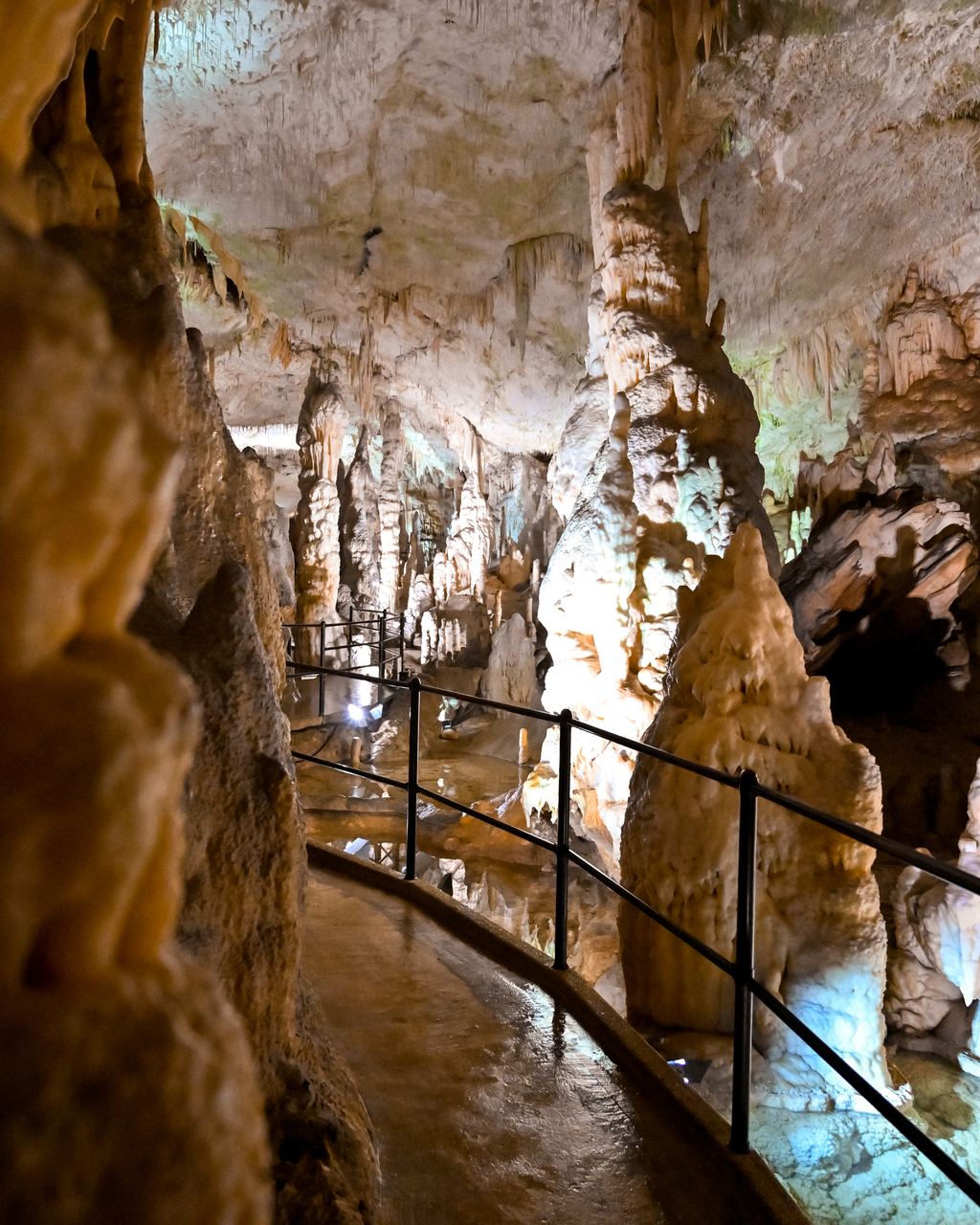
Why the decoration is younger than the cave
A cave has to exist before anything can hang in it. The NPS explains that caves typically form below the water table, and that speleothems cannot start until the cave is above the water table, in the zone of aeration. So every stalactite along a lit walkway like this one is younger than the room it hangs in.
Some are not growing at all. Great Basin National Park says many formations in Lehman Caves are dormant and probably grew when the climate was wetter, possibly during the Ice Ages. A dry formation can wake up: the park adds that water can change its path, so dry speleothems may someday be wet again. The names of what you see are in the glossary.
Phong Nha: limestone laid down in a shallow sea
The park that holds Phong Nha describes a region that began as a shallow sea with coral and shells, then rose, leaving limestone masses more than 1,000 metres thick. It dates the rock to 400 to 450 million years ago. Rainwater, groundwater and a tropical climate did the rest. The park also says the area is one of the few in the world that preserve all five stages of karst development, and it gives Phong Nha Cave an underground river nearly 13,000 metres long. Those are the park's claims, so we attribute them. Tours are on our Phong Nha page.
One more fact about karst, and it is not about caves. The NPS notes that water moves quickly through karst and gets little filtration, so a contaminant is rapidly transported, and that in developed areas catastrophic sinkhole collapse can cause significant damage and loss of life. The processes that made your show cave also open holes under roads. We mention it because the word karst appears on tour pages as decoration, and it describes a landscape with real hazards.
How does the sea make a cave?
The NPS answer fits in two sentences. Sea caves are formed primarily from erosion caused by waves, along coasts and lakeshores where water hits bedrock. They follow weaknesses in the rock, faults, fractures and bedding planes, and they can occur in nearly every type of rock.
The next stages are why a coast has arches and stacks. Waves and the sediments they carry enlarge the weak zones until the cave can become open at both ends and form a natural bridge or arch. When the roof of the arch falls, it leaves a sea stack. That sequence is visible at Ponta da Piedade, where our page describes a headland of orange limestone with stacks and arches. Benagil, on its own page, is a domed chamber in limestone with an opening in the roof.
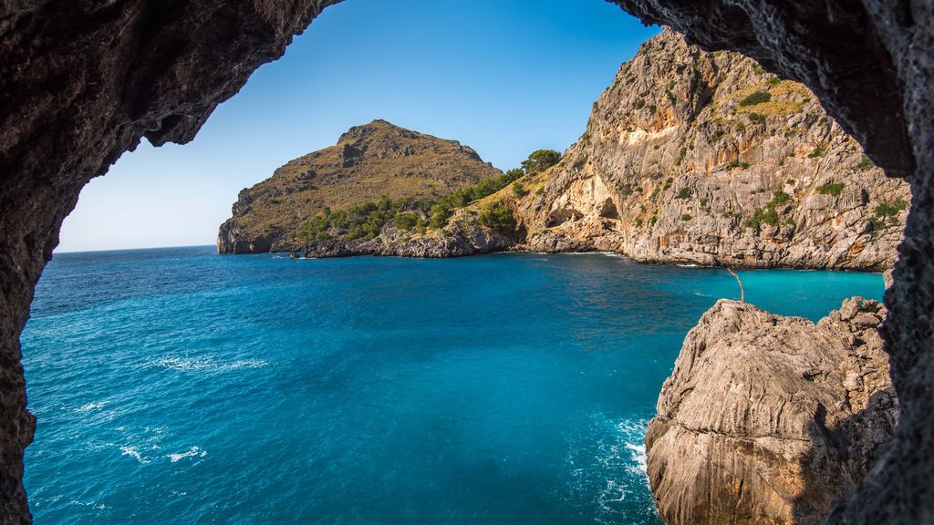
Capri's Blue Grotto is the example everyone knows. Treccani gives it 54 metres in length, 30 in width and 15 in height, entered by boat through an opening 1.30 metres high. The municipality of Anacapri describes the arch as only about one metre high, so sources differ by about 30 centimetres on a number that decides who fits in the boat. Treccani also says the grotto owes its popularity to A. Kopisch, whose enthusiastic descriptions date from 1826. We cover the optics and the booking in our Capri page, and the Croatian equivalent on Blue Cave.
The awkward part: a sea cave is the one cave still being cut, and the force that cuts it also closes it. The Italian Ministry of Culture says that in adverse sea and weather conditions the site will remain closed. The NPS gives no rate for sea cave growth and we found no primary source that does, so there is no number here. What you can plan around is the sea of the day: sea caves compared sets the sea caves we sell side by side, and what to wear on a cave tour covers the wet part.
What is a lava tube, and does the site sell one?
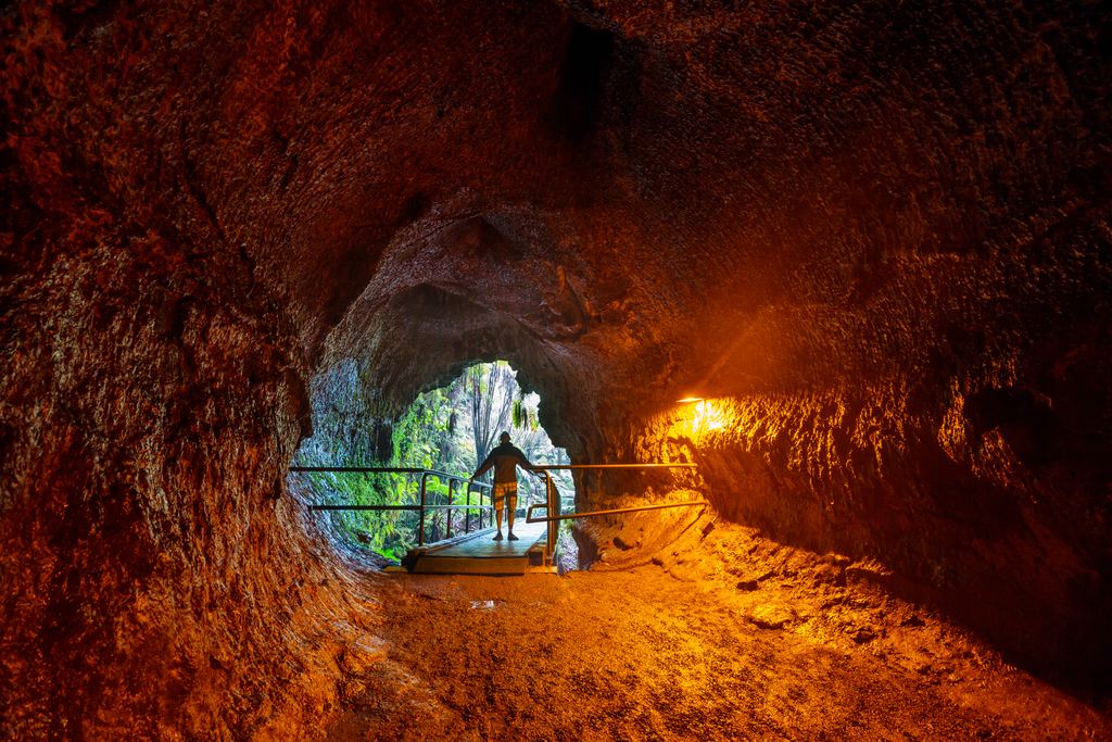
How a river of lava leaves a tunnel behind
The NPS describes it step by step. The top of a lava river cools with exposure to the much colder air above and hardens into stone while the molten rock below keeps flowing. The rock above thickens and widens until it forms a roof. When the eruption ends or the flow moves elsewhere, the tube drains and leaves a tunnel.
The NPS calls lava tubes probably the second most common type of cave. They sit close to the surface, so collapses and entrances are common, and many are single tubes that can run for miles.
The answer to the question in the heading is no. We sell no lava tube tour. The tubes of Iceland and the Azores appear on our Iceland and Portugal pages, and the network's volcano site covers them in depth. They are on this page because the process is so different that a reader choosing a cave should know it exists.
Four details are worth knowing. Lava stalactites form while the lava is still flowing, as molten ceiling drips and part of it hardens. Impurities can color the rock orange, red or, rarely, purple, though the NPS says it usually cools to the black rock basalt. A tube is not permanent: the NPS reports that new lava has filled older tubes in Hawai'i Volcanoes National Park, and mapped and documented caves there no longer exist. And a tube in a cold place can hold ice. At Lava Beds National Monument the park says ice is slowly disappearing from many caves as the climate warms.
For scale, the NPS gives Kazumura Cave on the Big Island a mapped length of 40.7 miles and a depth of 3,614 feet, on a page last updated in April 2023. Mapped numbers grow as people explore, so treat them as a snapshot. The rest of the NPS description, including the lava curbs and gutters that form where molten rock sticks to the walls, is on the NPS lava tube page.
Are ice caves really caves?
Two different things share the name, and the NPS keeps them apart. Ice caves that form in ice are called Glacier Ice Caves, made by meltwater moving through a glacier. Caves formed in rock that contain ice all year-round are the other group. The first is the Icelandic tour product. The second stays cold in July.
What makes the rock kind work is shape. The NPS says a passage can act as a trap for cold air that sinks in during winter and stays through summer. Iceland has a third variant. Vatnajökull National Park describes how geothermal hot water in the river Volga shapes the ice caves on the edge of the glacier, and warns that meltwater collects in lagoons that can empty suddenly.
Glacier caves are the only kind on this list that you should expect to be different next year. Ice caves: when they exist and why covers the season and the 2024 rule changes, and the Iceland ice cave tours page compares what is on sale. For why a cave feels cold at all, read cave temperature.
Is a cenote a cave or a collapse?
Both. A 2024 paper in Microbial Ecology describes the Yucatán as a karst landscape with many flooded sinkholes formed by the collapse of limestone bedrock and known locally as cenotes. The NPS gives the general rule: a sinkhole is a depression formed when the land surface sinks because of bedrock dissolution or cave collapse. So a cenote is what dissolution leaves behind when the roof finally falls. Water first hollows the rock. Gravity then opens it.
The same collapse happens on dry land. Škocjan's park lists Velika dolina as a collapse doline, 163 metres deep from the viewpoint to the Reka's sinkhole. On the water side, cenotes explained sorts open, semi-open and cave cenotes and says who should swim in which. Tours are on the Tulum cenote page.
Which caves were mined, not dissolved?
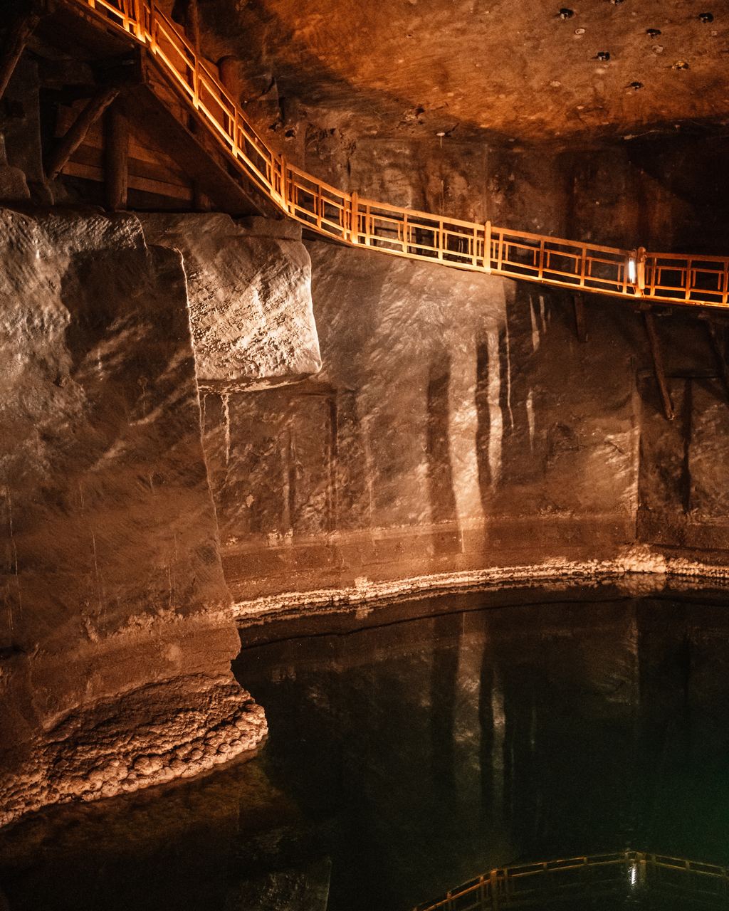
Wieliczka was cut, and the chambers show it
UNESCO states that the rock salt deposit of Wieliczka and Bochnia has been mined since the 13th century, and calls it the oldest major industrial undertaking of its type in Europe. The site description mentions hundreds of kilometers of galleries, underground chapels and statues sculpted in salt.
That is a mine you walk through, not a cave. People removed the salt, so the chambers are excavations. The stock photo shows a timber walkway above dark water in a mine chamber.
Paris went the other way: a quarry first, an ossuary second. The official leaflet says the Quarry Department was created by a decree of the Royal Council on 4 April 1777 to protect and fortify the Parisian subsoil, and that the Saints-Innocents cemetery was closed in 1780. Between street level and the ossuary, the leaflet says, visitors travel back nearly 45 million years, to a limestone bank of the Lutetian stage. The Paris catacombs page covers the visit, and cave facts and history gives the dates.
Naples is the same idea with a different stone. Napoli Sotterranea says the Greeks opened the first underground quarries to obtain the tuff blocks for the walls and temples of Neapolis, in a period that began in the third century BC. Another page by the same operator gives the fourth century, so we say only that it began in Greek times. The same underground later carried Roman aqueducts and, in the Second World War, served as air raid shelters. Our Naples Underground page lists what you can enter.
A warning about listings: one that sells a "salt cave" or a "cave church" is often selling a mine or a quarry. That is not a reason to skip it. It is a reason to know that the chambers are excavations, and to read types of cave tours before expecting stalactites.
What about tunnels and underground cities?
Some underground spaces were dug for shelter, burial or war and never mined for a product. The rock matters. The Pontifical Commission for Sacred Archaeology says the Roman catacombs are for the most part excavated in tuff or other easily removable but solid soils, which it calls a negative architecture. It dates their origin to the end of the second century and the start of the third, under Pope Zephyrinus. Rome catacombs tours are on their own page.
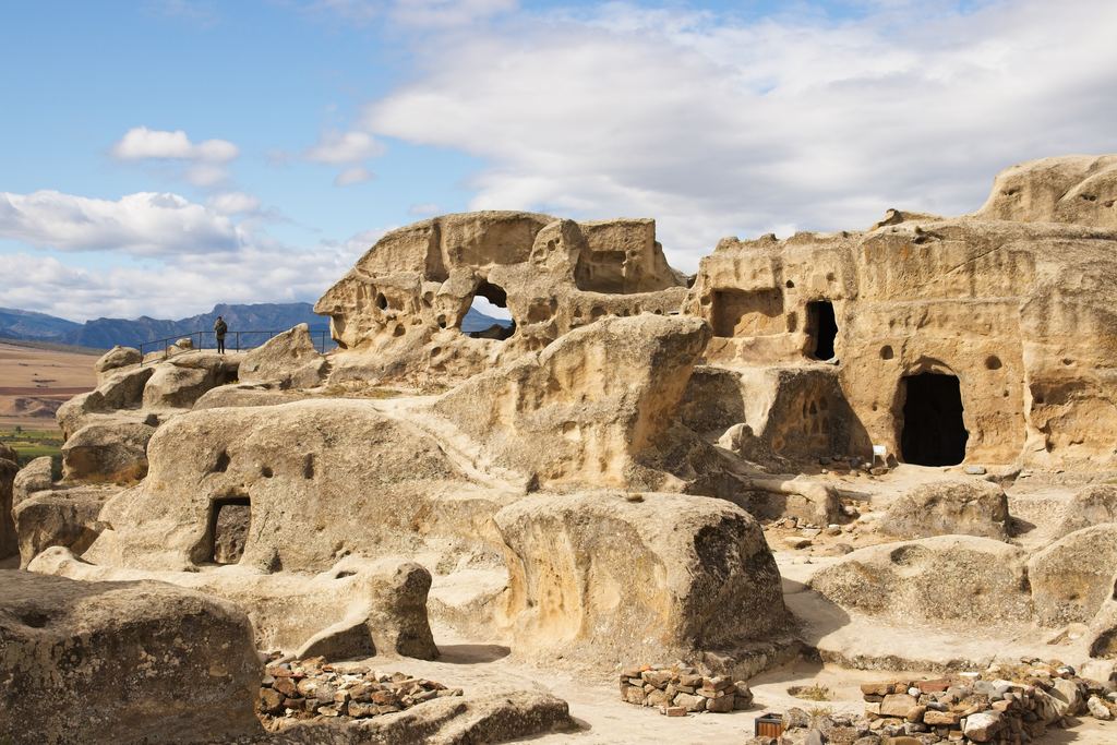
Derinkuyu in Cappadocia shows how big the habit can get. The district administration says the eight floors open to visitors reach 50 metres, and that if every floor were cleared the depth would reach about 85 metres, with 12 or 13 floors. That makes 85 a projection, not a measurement of the visit. It also lists 52 drinking-water wells 60 to 70 metres deep, which is where the name comes from. UNESCO's file on the region describes troglodyte villages and underground towns, places of refuge, with remains dating back to the 4th century. See Cappadocia underground cities.
Cu Chi was dug in a different century and for a different reason. A Vietnamese state portal says the Cu Chi tunnels have a total length of 250 km and were built between 1946 and 1968. It is a single celebratory figure from one source, so read it as an official claim, not a survey. The Cu Chi tunnels page covers the visit, and underground cities, catacombs and mines compares the whole family.
How long does each route take?
Slowly, and the numbers differ by many orders of magnitude. The table keeps only measurements that a primary source gives, and says where a route has none. We left out the commonly repeated centimeter a year for stalactites, because the NPS gives stalactite growth as an average of volume and says rates vary with the calcite in the water and the drip rate.
| Route or feature | Measured figure | Source |
|---|---|---|
| Stream passage in a solution cave | Grows at most about 1 mm a year; a meter or more across after a thousand years | NPS, solution caves |
| Stalactite or stalagmite | About one cubic inch per 100 years on average; a 12-inch stalactite, 3 inches across at the base, is about 2,800 years of growth | NPS Cumberland Gap |
| Soda straws on broken formations | Mostly under an inch to about four inches in roughly a century (formations broken between 1885 and 1922) | NPS Great Basin |
| Oldest dated stalagmite in Lehman Caves | About 2.2 million years, by uranium-thorium dating | NPS Great Basin |
| Limestone around Phong Nha | Formed 400 to 450 million years ago | Phong Nha-Ke Bang park |
| A lava tube in the Mojave | Formed by a cinder cone about 27,000 years ago | NPS lava tubes |
| Mines and tunnels | Wieliczka mined since the 13th century; Cu Chi built 1946 to 1968 | UNESCO; Vietnamese state portal |
| Sea caves | No rate given | NPS sea caves |
The soda straw row is the one we would tell a friend. The NPS notes that because soda straws are hollow, they grow longer and at a faster rate than wider speleothems, and that size misleads: the largest column in the cave may be younger than a two-inch long soda straw. On stalactites in general, one cubic inch every 100 years is an average of volume, not a speed. Anyone who gives you one tidy number a year is giving you a guess.
A guide who says a formation is "a million years old" is giving an order of magnitude. Ask what it was dated with. A good guide will tell you, or say that nobody measured it.
What does the process change for your visit?
Ask what made the cave, and a booking page's silence becomes information. In a river cave the question is rain. The rainy season page explains how. In a sea cave it is the swell and the wind. In a glacier cave it is a guide's judgment on the morning. In a lava tube it is the footing and the nearest exit. In a mine or an underground city it is stairs, because people dug down and people walk back up.
Ask one question before you book: what made this cave? The answer tells you what can cancel the day.
Temperature follows the place, not the process. The NPS says the temperature in most caves tends to reflect the average annual temperature for the area at that given elevation, with exceptions such as cold traps. Our cave temperature page sets the published numbers against the outside average, and what to wear turns them into a packing list.
Risk follows the process too, which is why are cave tours safe? is organized by mechanism and not by country. And if you are still deciding which type to book, show caves, wild caves and other cave tours sorts the visit formats, and how to choose a cave tour sorts you.
Go deeper in cave knowledge
Each page takes one question from this one and answers it with sources.
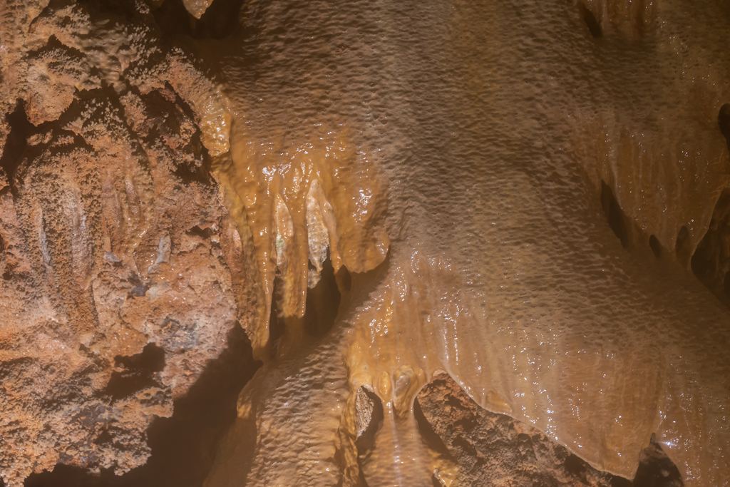
Cave glossary
Stalactite, stalagmite, sump and the other cave words, sorted by what you see.

Cave temperature
Why caves feel cool, and where the rule breaks.
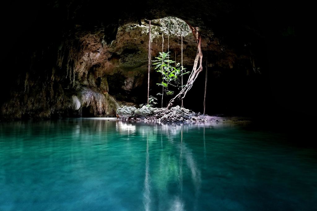
Cenotes explained
Open, semi-open or cave, and what each means for a swim.
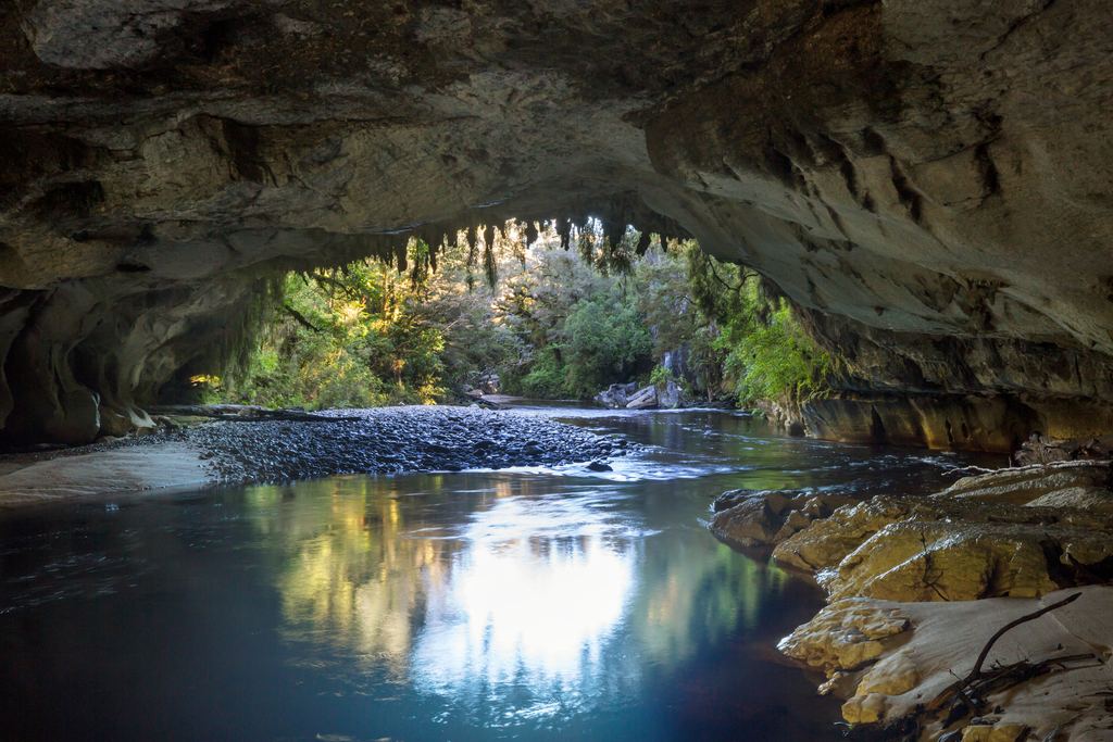
Cave wildlife
Glowworms, olms and bats, and what you change by visiting.
Cave facts and history
A sourced timeline of how people used the underground.
Cave tour FAQ
Short answers that point to the page with the proof.
Questions about how caves form
How do most caves form?
How long does it take to form a cave?
Are sea caves and lava tubes real caves?
Do all caves have stalactites?
Is a salt mine a cave?
If you book a tour through the links on this site, caves.travel earns a commission from the provider at no extra cost to you. It does not change what we write here, and nothing above ranks a provider.
Data verified on . NPS, park and UNESCO pages read on 19 Oct 2026. Mapped lengths and park figures can change. Photo places are generic where the stock listing does not name them.
See a dissolution cave tour
Postojna is the clearest example here of a cave made by water in limestone.