
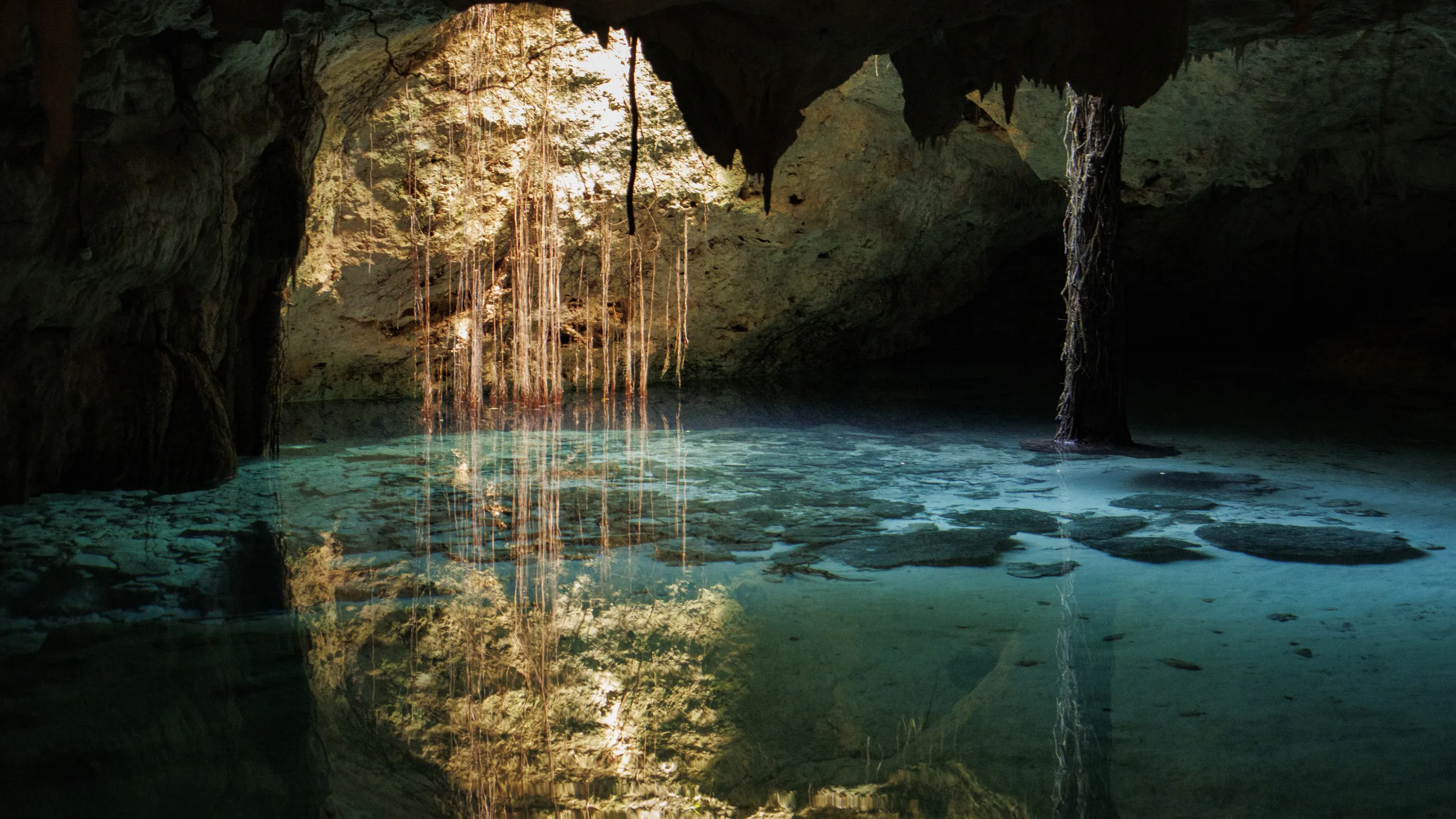
A cenote is a sinkhole where the limestone roof has collapsed far enough to reach the groundwater. A 2024 paper in Microbial Ecology describes the Yucatán Peninsula as a karst landscape with many naturally flooded sinkholes formed by the collapse of limestone bedrock and known locally as cenotes. What a visitor meets depends on how much of the roof is left: a pool open to the sky, a cavern lit by one shaft of daylight, or a flooded cave that only divers should enter.
This page covers what a cenote is, how it forms, the three types, why the water has layers, what the Maya used cenotes for, and what a swimmer should know before getting in. It does not sell a cenote. It sets out the facts so you can read a listing, including a listing that uses the word loosely. If a term is unfamiliar, the cave glossary defines doline, karst and sinkhole.
What is a cenote, exactly?
Geologists call a cenote a collapsed doline that intersects the water table, which is how a 2023 water-quality study in Yucatán describes it. The rock is limestone and the peninsula is karst, a landscape shaped by dissolving rock. Rainwater picks up carbon dioxide from decaying plants in the soil and becomes weakly acidic. The National Park Service says it forms carbonic acid that flows through cracks and seeps into the rock below. The acid is weak, but over time it dissolves the limestone, as the NPS page on solution caves says.
A cenote is therefore not a cave and not quite a lake. It is the place where a cave system opens to the surface. That link is not a figure of speech. A study of the Caribbean side of the Yucatán aquifer found that, when it was written, more than 1,500 km of submerged horizontal conduits had been mapped, with cenotes every kilometre or less providing an open connection to the surface, formed mainly by cave-roof collapse. Exploration continues, so read that figure as a minimum at the date of the study.
The rule that settles most confusion: the cenote is the hole, the cave is the water-filled passage under and around it. A booking page that says "cenote" can mean either, and the difference decides who can safely go there.
How does a cenote form?
The sequence has three steps. First, groundwater dissolves limestone and opens a cave below the water table. The NPS at Great Basin explains a quirk of chemistry: when two waters of different chemistry or temperature mix, the result can dissolve even more calcite than either. Because the surface water and the groundwater usually differ a little, a lot of dissolution happens in the zone where they meet, the water table, and passages tend to develop at about that level. That fits the long horizontal flooded passages mapped on the Caribbean side. Second, as the cave grows, the rock above it loses support. Third, the roof falls in. Where the collapse reaches the surface, the cave is exposed to daylight and rain, and the result is a cenote.
The pattern is not even across Yucatán. In the northwest there is a ring of them. A Geology paper by Perry and colleagues in 1995 described a semicircular band of sinkholes about 180 km across that coincides approximately with a concentric ring of the buried Chicxulub structure, a circular feature in Cretaceous and older rock that the authors describe as the product of a bolide impact. They showed it marks a zone of high permeability. They also listed three possible origins for the ring, faulting, a buried reef at the crater rim, or breccia collapse, and left the question open. A 2021 paper on mangrove cenotes says flatly that northern cenotes were formed by the impact. The 1995 authors were more careful, and so are we: the ring and the crater share a location, and the cause is a hypothesis.
Tulum is not in the ring. It lies on the Caribbean side of the peninsula, where the conduit study found cenotes connected by flooded cave passages. Our Tulum page, cenote tours around Tulum, is about that side.
Open, semi-open or cave: which kind of cenote is it?
The scientific papers sort cenotes by how much roof remains. The 2023 water-quality study sampled four of them: X'Batun and Yokdzonot as open types, and X'Canche and Kankirixche as semi-open "free fall" types, with X'Canche having a water surface 40 m by 40 m and a maximum depth of 30 m. A separate study of an aquifer's conduits labels its sites as "open pit" or "closed conduit". There is no single official scheme in the sources we read, and listings mix the words freely, so judge a site by what it describes.
| Type | What you see | What it means for you |
|---|---|---|
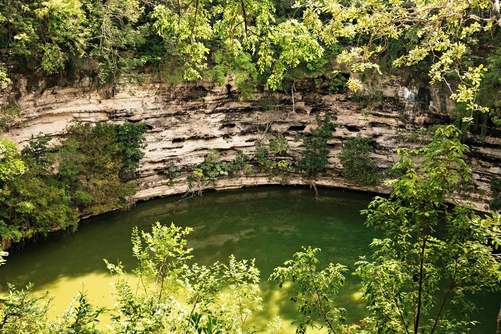
| Open | The roof is gone. Sky overhead, a rim, often plants hanging into the water. | Light and weather reach the water. Normal swimming rules apply, and so does a life jacket where the site asks for one. |
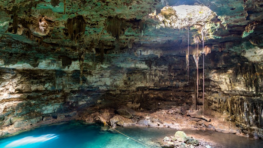
| Semi-open | Part of the roof has fallen in and part remains as an overhang. | Daylight at the opening, shade and darkness at the back. Water under the overhang is less well lit. |
| Cave or closed | Most of the roof stands. Access is through a hole, a stairway or a passage. | Artificial light, no sky. Beyond the daylight zone it is an overhead environment, which belongs to trained divers. |
How do you recognise an open cenote?
Look for the rim. An open cenote is a round or oval pit with the roof gone, and plants grow on the walls and lean over the water. The photograph shows one near the ruins of Chichén Itzá, where the water is exposed to sun, leaves and rain. That matters for the next section, because everything that falls in or washes off stays in a small body of water.

Is the water in a cenote fresh or salty?
Both, in layers. The Yucatán aquifer is density-stratified: a freshwater lens, which the papers call meteoric water, floats over denser saline groundwater from the sea. The boundary is the halocline. In cenotes near the coast the layers shift. A Microbial Ecology study of coastal cenotes gives two contrasting cases. At Pol-Ac the halocline lies at only 0.4 m and the surface salinity is 20.9 psu, so there is no freshwater layer at the top. At Tábano and Na'ach Wennen Ha, each within 1 km of the Caribbean, haloclines sit at 11 m and 5 m, with surface salinities of 2 and 0.5 psu.
A swimmer near the surface may not see the layers, but they shape what lives in the water. The difference between 0.4 m and 11 m is a reminder that "the cenote" is not one kind of water. The same paper reports low oxygen and a "stable water temperature". We found no primary source that gives a number for that temperature. Figures such as 25 C circulate on travel blogs, and we do not repeat them. For the general rule about temperatures underground, see our page on cave temperature.
What did cenotes mean to the Maya?
The Microbial Ecology authors write that cenotes were vital water sources for the ancient Maya and were revered as sacred sites for ritual activities. The word is Maya too, though its spelling does not settle. The sources we read give four versions: dzonot, ts'onot, tz'onot and d'zonot. The tidy English gloss "sacred well" is everywhere online. The papers give the Maya word and the ritual use, not that translation, so we do not quote it.
The best-documented ritual site is the Sacred Cenote at Chichén Itzá. A 2024 paper in Nature describes it as an enormous sinkhole containing abundant ritual offerings, including the remains of more than 200 ritually sacrificed individuals, mostly children. The same paper notes that Spanish colonial accounts and early twentieth-century dredging popularized the idea that young women and girls were mainly sacrificed there, while more recent bone studies indicate that both males and females were deposited in the cenote. A 2019 isotope study in the American Journal of Physical Anthropology found that the people in the Sacred Cenote came from many parts of Mexico and possibly beyond.
Ritual use underground was not limited to cenotes. Belize's national institute says the Maya first used Actun Tunichil Muknal in the Early Classic period, A.D. 300 to 600, to hold rituals to communicate with their gods and ancestral spirits, and describes the cave as 3.13 miles long. See ATM Cave tours for the visit.
What should you know before you swim in one?
Your swim is not neutral. A 2023 study in Science of the Total Environment sampled cenotes, beaches and wells in the Riviera Maya during and after the pandemic lockdown. Sunscreen and antibiotic compounds persisted in groundwater even when tourists were absent, which the authors read as a sign that residents contribute significantly. When tourists returned, the diversity of compounds increased. A separate team sampled four cenotes before and during Easter week in 2019 and found significant differences in water quality between the two periods. Neither paper tells you which sunscreen is safe, so the rule is the site's own. Rules on sunscreen differ from one site to another, so read the notice at the entrance, and see our guide to caves you visit by boat, swimming or tube.
Swimming and cave diving are different activities. Whether it is safe to swim in a cenote has no one-word answer. An open cenote with a life jacket and a lifeguard rope is one thing. Passing under the roof into the cave beyond is another. The best data we found are American: a Divers Alert Network review of cave-diving deaths from 1985 to 2015 counted 161, of whom 87 were untrained, with most deaths in Florida. The most common cause was drowning after the diver ran out of breathing gas, usually after becoming lost when silt destroyed visibility. These figures describe flooded caves in the United States, not Yucatán, and they show what the risk looks like in an overhead environment. For how we treat safety in general, read are cave tours safe?
The rainy season is a separate question. Water level, visibility and access all change with rain. We cover that in caves in the rainy season. If you are comparing a cenote day with other kinds of visit, how to choose a cave tour sets out the order of questions.
Cenote questions
Is a cenote a cave?
Not exactly. It is a sinkhole that exposes groundwater, and many cenotes open into flooded cave passages. A pit open to the sky is a cenote. The passage beyond it is a cave.
How many cenotes are there?
The count depends on who does it. A 2021 paper cites over 2,000 across the Yucatán Peninsula. A 2023 study quotes the Yucatán state database, which lists more than 3,000 registered. Both counts will change.
Where does the word cenote come from?
From the Maya word that scientists spell dzonot, ts'onot, tz'onot or d'zonot. The spelling has not settled.
Is it safe to swim in a cenote?
In an open cenote, within the daylight zone and by the site's rules, many people swim. Beyond the daylight zone, in a flooded cave, it is a dive environment that needs training. Follow the posted rules.
The cenote tours we list run around Tulum and the Riviera Maya. If you book through the links on this site, caves.travel earns a commission from the provider at no extra cost to you. It does not change what we write.
Cenote tours near Tulum
A few of the tours listed for the area.
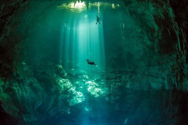
Advanced Diver Deep Cenote Dives, Two Dives With La Calypso in Tulum
Two dives from a Tulum dive center, one of them deep, for divers with Advanced (level 2) certification. Equipment, entrance fees and transport are included.
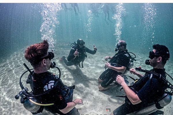
Beginner Scuba Dive or Refresher in a Tulum Cenote, 12 Meters Maximum
A first scuba dive in a cenote, or a refresher for rusty divers, with an instructor, a shallow warm-up and a main dive of up to 40 minutes. Equipment included.
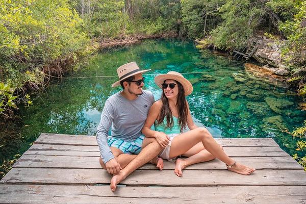
Bejil-Ha Bike Tour to Three Local Cenotes in Chemuyil Near Tulum
Local guides lead this bike ride from Chemuyil to three cenotes, with snorkeling gear, fruit, coffee and lockers included. Lunch is not part of the price.
Ratings collected by Viator and Tripadvisor
Data verified on . Facts from peer-reviewed papers (open access) and NPS pages read 19 Oct 2026. Cenote counts and mapped lengths change. Diver data are from the United States.
Tulum cenote tours
Compare the cenote tours listed for the Tulum area.