
Every climate figure on this page was read from a weather service's own file on 19 October 2026. Thirteen of the 19 rows use a published 1991-2020 normal. Four are 1991-2020 averages we calculated from daily records, because the Croatian and Slovenian services do not publish that normal in an open form. Two are older or shorter: Iceland (1991-2014) and Waitomo (1981-2010). Each one is marked where it appears.
A normal is a 30-year average. The WMO recommends updating these reference periods every decade, so the 1991-2020 rows will not move until the next period, which would close in 2030, is published. The two older rows will change sooner. We will swap them when a 1991-2020 normal appears for those two places.
Which month is best for a cave tour?
There is no best month for caves in general, only a best month for each way a cave can shut. A sea cave shuts when the water is rough. A river cave shuts when the river rises. An ice cave exists for part of the year and is unsafe for the rest. A catacomb or a salt mine has almost no season, so the month only decides how cold the queue is outside. Work out which of those four your cave is, then read its row. Nineteen destinations are sorted below, and every row says why it is colored the way it is.
If you are still choosing a destination, how to choose a cave tour comes first. If a trip is booked and the weather turns, what to do if your cave tour is canceled explains who decides. Two longer pages cover the mechanisms: caves in the rainy season and ice caves: when they exist and why.
How the table decides, and what each color means
A tourism board's best time to visit blends weather, crowds, prices and school holidays. This table uses weather only, with a different rule for each kind of cave, because what shuts a sea cave is not what shuts a catacomb. Inside one type the rule is identical for every destination, and every threshold sits in a script we can rerun. Three classes appear: best months, workable (everything else) and a rough class named for the logic of each block.
| Cave type | Examples | Best months | Rough class | Why this rule |
|---|---|---|---|---|
| Sea caves | Blue Cave, Blue Grotto, Algarve | Sea 18 °C or warmer, under 50 mm of rain, highs 22-33 °C | 80 mm of rain or more, highs under 15 °C or over 35 °C | Rain stands in for swell, because the stormy season is the rainy one |
| River, jungle, cenote | Cayo, Phong Nha, Tulum, Ninh Bình, Cu Chi, Waitomo | Under 100 mm, highs 15-34 °C, outside hurricane season (Tulum, Belize) | 200 mm or more, or highs of 36 °C or more | Rivers rise with the month's rain |
| Ice caves | Iceland | Inside Nov-May and coastal highs under 5 °C | Outside the Nov-May window | The window comes from Visit Iceland |
| Below ground | Catacombs, salt mine, underground cities | Highs 10-30 °C and under 100 mm | Highs of 36 °C or more, or under 0 °C | The cave barely changes, so the class describes the queue and the walk |
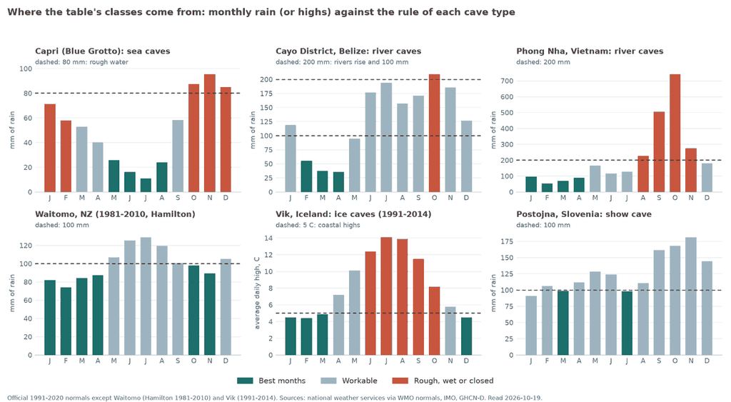
None of these numbers is a law. The 18 °C sea and the 22-33 °C window are our choices, not an agency's limits. We tested the rules by moving each threshold up and down. Shifting the 80 mm sea line to 64 or 96 mm changes 5 or 7 of the 228 cells; the 200 mm river line changes 9 or 8. Rain is the fragile one. Dubrovnik's August has 51.2 mm against a 50 mm line, and that 1.2 mm is the whole gap between best and workable. Read "under 50 mm", never "dry".
Read each color as a distance from a line. A month 1 mm over a threshold and a month 1 mm under it are the same weather with a different label.
What the table does not measure
The table sorts months by weather, so it says nothing about what weather does not decide. The list below is the part that matters most when you plan a day.
| Not measured | Why it matters | Who decides or knows |
|---|---|---|
| Crowding and queues | A best month for weather can be the busiest month on the quay | The destination page and the operator |
| Closures on the day | Sea caves, river caves and ice caves are shut by notice, not by a table | The ministry, harbor master, park or guide |
| Swell, wind and visibility | Rain is only a proxy for the sea, checked at one station | Marine forecasts and the captain |
| Hurricanes and typhoons | Only the Atlantic hurricane window is used, for Tulum and Belize | National hurricane and typhoon services |
| Water clarity | No official source we opened gives cenote visibility by month | The operator |
| Light inside the cave | The Komiža board names a time of day, not a month | The operator, on the morning |
| Opening hours and seasonal schedules | They change, so none are printed here | The cave's official site |
The sharpest gap is the plainest one. The table never says a cave is open. Italy's Ministry of Culture writes on its Blue Grotto page that the site stays closed in adverse sea and weather conditions. In Iceland the park's 2024 board minutes say the new terms stipulate daily site assessments by operators and the Association of Mountain Guides in Iceland. A green cell lowers the odds of a closed day. It does not remove them.
Sea caves: the sea decides, not the month
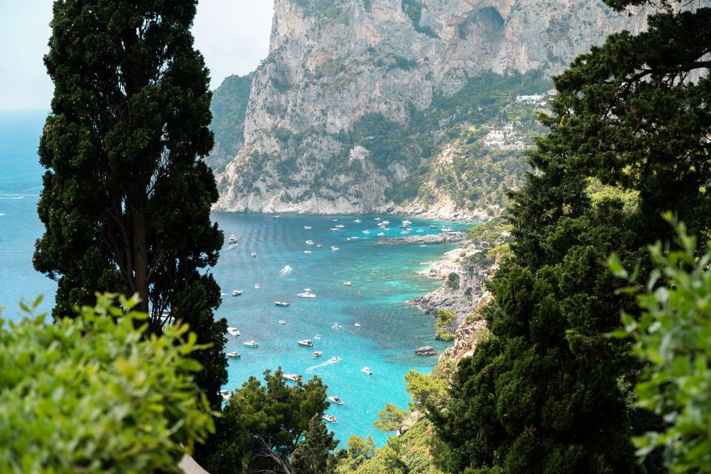
Sea caves keep no calendar. The Blue Cave on Biševo is entered by small boat through an opening the Komiža tourist board gives as 1.5 m high and 2.4 m wide, so little swell is enough to keep boats out. At Benagil the Portimão harbor master's notice 019/2024 ties access to sea conditions and bars it when visibility is under 1,000 m.
Rain is how the table sees the sea. Croatia's weather service writes that bura and jugo are more frequent and stronger in the cold part of the year. At Capri, where the station also counts days with wind of 10 m/s or more, rain and strong wind rise and fall together: the correlation over twelve months is 0.88.
August at Capri has 2.1 such days and 23.9 mm of rain. December has 10.6 days and 84.9 mm. For every other sea station the proxy cannot be checked, and we say so. The Capri, Blue Cave and Algarve pages carry the local detail, and sea caves compared sets the five caves side by side.
Two cells need explaining. January and February at Capri are rough because highs there are 13.7 °C and 14.3 °C, under the 15 °C line, though February's rain is only 58 mm. That is a rule about boat trips being miserable, not a claim that the cave is shut. On the Algarve the sea is the limit: the water off Sagres stays under 18 °C until June, so only June to September earn best, and November, with 82 mm, is the one rough month. Sagres is also the exposed south-west corner. Faro, 55 km east, is calmer and drier, and it disagrees on November and December.
The uncomfortable part is light. Visitors ask which month turns the Blue Cave bluest, and no official source we opened names one. The Komiža board says only that the best time is between 10 am and 2 pm, depending on the time of the year. The "midsummer noon" repeated across the web comes from unofficial pages, so we left it out. Dubrovnik is weak for another reason: its station sits at 165 m on a hill, not at the port, so its highs probably run a little cooler than at the water's edge. We did not correct for that.
For a sea cave, keep the day after your tour free. The table gives the odds, and the sea resets them every morning.

Ice caves: a window, not a season
Iceland has the thinnest calendar of the 19 rows. Visit Iceland says the ice cave season varies with temperatures and weather and typically extends from November until May. In September 2024 the Vatnajökull National Park prohibited all access to ice caves, calling any ice formation under an ice roof, overhanging, slanted or arched, extremely dangerous at that time of year, and announced new contracts from 1 November. So the table colors December to March best, with coastal highs under 5 °C, November, April and May workable, and June to October rough.
Three limits apply. The only Icelandic series we could open ends in 2014, so the row is 1991-2014. The station is at Vík on the coast, while the caves sit on a glacier that is colder. And our Iceland ice cave pages treat the natural Vatnajökull caves as closed in practice from May, a stricter reading than Visit Iceland's window. If your dates fall in April or May, ask the operator before you plan around the table.
When to go: sea and ice caves
Sea caves and Iceland's ice caves share a table because both can be closed by a single morning's conditions.
| Month | 1 | 2 | 3 | 4 | 5 | 6 | 7 | 8 | 9 | 10 | 11 | 12 |
|---|---|---|---|---|---|---|---|---|---|---|---|---|
| Biševo & Vis (Blue Cave) Oct-Feb: rain of 80 mm or more, or highs under 15 °C, when swell and wind keep boats out. Jun-Aug: sea 18 °C or warmer, under 50 mm of rain. The entrance is 1.5 m high, so little swell is enough to close it (Komiža tourist board). | 1 | 2 | 3 | 4 | 5 | 6 | 7 | 8 | 9 | 10 | 11 | 12 |
| Split (Blue Cave tours from Split) Sep, Nov-Mar: rain of 80 mm or more, or highs under 15 °C, when swell and wind keep boats out. Jun-Aug: sea 18 °C or warmer, under 50 mm of rain. The cave is the same Biševo one; bura and jugo are commoner in the cold half of the year (DHMZ). | 1 | 2 | 3 | 4 | 5 | 6 | 7 | 8 | 9 | 10 | 11 | 12 |
| Hvar (Blue Cave tours from Hvar) Oct-Feb: rain of 80 mm or more, or highs under 15 °C, when swell and wind keep boats out. Jun-Aug: sea 18 °C or warmer, under 50 mm of rain. Bura and jugo are commoner in the cold half of the year (DHMZ); jugo is the Central Adriatic wind. Sea temperature read off Biševo, where the cave is. | 1 | 2 | 3 | 4 | 5 | 6 | 7 | 8 | 9 | 10 | 11 | 12 |
| Dubrovnik (Blue Cave tours from Dubrovnik) Sep-Apr: rain of 80 mm or more, or highs under 15 °C. Jul: sea 18 °C or warmer, under 50 mm of rain; Aug misses by 1.2 mm. Bura and jugo are commoner in the cold half of the year (DHMZ). Sea read off Koločep; station on a hill at 165 m. | 1 | 2 | 3 | 4 | 5 | 6 | 7 | 8 | 9 | 10 | 11 | 12 |
| Capri, Sorrento & Naples (Blue Grotto) Oct-Feb: rain of 80 mm or more, or highs under 15 °C, when swell and wind keep boats out. May-Aug: sea 18 °C or warmer, under 50 mm of rain. The Ministry of Culture shuts the grotto in adverse sea conditions. Station on Capri at 160 m; the cave entrance sits at sea level. | 1 | 2 | 3 | 4 | 5 | 6 | 7 | 8 | 9 | 10 | 11 | 12 |
| Algarve (Benagil, Ponta da Piedade) Nov: rain of 80 mm or more, or highs under 15 °C, when swell and wind keep boats out. Jun-Sep: sea 18 °C or warmer, under 50 mm of rain. Portimão harbour master allows the caves only when sea conditions permit, and not below 1,000 m visibility. | 1 | 2 | 3 | 4 | 5 | 6 | 7 | 8 | 9 | 10 | 11 | 12 |
| Iceland ice caves (Vík & Jökulsárlón) Official window Nov-May (Visit Iceland); Dec-Mar also have coastal highs under 5 °C. The national park banned all ice caves until 1 Nov 2024, and our Iceland pages treat natural caves as closed from May. Coastal station, 1991-2014. | 1 | 2 | 3 | 4 | 5 | 6 | 7 | 8 | 9 | 10 | 11 | 12 |
Official 1991-2020 normals (Iceland 1991-2014); sea temperature NOAA. Sea caves: rain of 80 mm or more means rough water. Ice caves: Nov-May window. Calendar months.
River, jungle and cenote caves: the rain sets the month
For river caves the table counts rain. A month with 200 mm or more, about 6.5 mm a day, is rough. A month under 100 mm with highs between 15 and 34 °C is best. One station cannot see the catchment upstream, so a rainy month is a risk, not a closure. Belize shows the pattern. The national meteorological service says most of the year's rain falls from June to November, reaching Cayo in late May, with a break in August. Central Farm records 193.9 mm in July and 156.8 mm in August. October is the one month over the line, at 209.3 mm. January, at 119 mm, is dry season by the calendar and still misses best by 19 mm. The Cayo District page covers what that means for ATM Cave and tubing.
Hurricanes add a second rule for Belize and Tulum. NOAA's National Hurricane Center dates the Atlantic season from 1 June to 30 November and says the first hurricane tends to form in early to mid-August. June and July are the least exposed months of the season, yet the rule keeps them out of best anyway, because it does not rank months inside the season. At Tulum the best run is December to May, and October, at 204.2 mm, is the only rough month. The Tulum station is 2 km from town, a true local reading.
Vietnam has the largest swings. Vietnam's tourism authority says that in Ho Chi Minh City the dry season brings sunny, less humid days, while May to November has short afternoon showers. The normals agree and put numbers on it. Hanoi, the reading for Ninh Bình, gets 335 mm in August. Ha Tinh, the reading for Phong Nha, gets 742 mm in October. Cu Chi is best from December to March. April is workable only because its highs reach 34.5 °C, just over the 34 °C line.
Waitomo is the soft row. No month there reaches 200 mm, and the wettest, July, has 129 mm. But that is a 1981-2010 normal from Hamilton, 60 km away, and no official page we opened gives a river level at which the caves shut. The calendar is also the Southern Hemisphere's: January to April and October to November are best, and July is the wet month.
When to go: river, jungle and cenote caves
Read the rows as the risk of high water, not as a promise that a cave is open or shut.
| Month | 1 | 2 | 3 | 4 | 5 | 6 | 7 | 8 | 9 | 10 | 11 | 12 |
|---|---|---|---|---|---|---|---|---|---|---|---|---|
| Ninh Binh (Trang An & Tam Coc) Jun-Aug: rain of 200 mm or more (rivers rise). Nov-Apr: under 100 mm of rain and under 34 °C. The tourism authority names Apr-Jun best for scenery; this table weighs rain, which peaks Jun-Aug. Reading taken at Hanoi, about 90 km north. | 1 | 2 | 3 | 4 | 5 | 6 | 7 | 8 | 9 | 10 | 11 | 12 |
| Cu Chi Tunnels May-Oct: rain of 200 mm or more (rivers rise). Dec-Mar: under 100 mm of rain and under 34 °C. Vietnam's tourism authority: dry season Dec-Apr, afternoon showers May-Nov. Reading taken in Ho Chi Minh City, about 30 km south-east. | 1 | 2 | 3 | 4 | 5 | 6 | 7 | 8 | 9 | 10 | 11 | 12 |
| Phong Nha Aug-Nov: rain of 200 mm or more (rivers rise). Jan-Apr: under 100 mm of rain and under 34 °C. Vietnam's tourism authority advises avoiding the flood-prone Sep-Dec. Reading taken at Ha Tinh, 130 km north on the same north-central coast. | 1 | 2 | 3 | 4 | 5 | 6 | 7 | 8 | 9 | 10 | 11 | 12 |
| Tulum (cenotes) Oct: rain of 200 mm or more (rivers rise). Dec-May: under 100 mm of rain and under 34 °C. Hurricane season runs 1 Jun-30 Nov (NOAA). Official Tulum station, 2 km from town. | 1 | 2 | 3 | 4 | 5 | 6 | 7 | 8 | 9 | 10 | 11 | 12 |
| Cayo District (ATM Cave, cave tubing) Oct: rain of 200 mm or more (rivers rise). Feb-Apr: under 100 mm of rain and under 34 °C. Rainy season Jun-Nov, with a dip in August (Belize met service); hurricane season 1 Jun-30 Nov. Official Central Farm station, a few km from San Ignacio. | 1 | 2 | 3 | 4 | 5 | 6 | 7 | 8 | 9 | 10 | 11 | 12 |
| Waitomo Glowworm Caves No month reaches 200 mm of rain. Jan-Apr, Oct-Nov: under 100 mm of rain and under 34 °C. Older 1981-2010 normal from Hamilton, 60 km north of the caves. | 1 | 2 | 3 | 4 | 5 | 6 | 7 | 8 | 9 | 10 | 11 | 12 |
Official normals (Waitomo 1981-2010). Rivers rise from 200 mm of rain a month; best months are under 100 mm and under 34 °C. Waitomo uses the Southern Hemisphere calendar.
Where we part from the tourist boards
Ninh Bình, June. Vietnam's tourism authority points to the rice fields turning golden around Tam Cốc in late May, and to a cool, clear autumn. That makes April to June the scenic window. The table calls June rough, because Hanoi gets 231 mm that month and 300 mm in July. The authority is reading the view and the table is reading the water, so they answer different questions. We kept the calculated class and wrote the reason into the row. If you book for the rice fields, ask your operator what the boats are doing that week.
Phong Nha, December. The same authority says dry weather is best for caving and that the flood-prone months of September to December are best avoided. The normals put December at 181 mm at Ha Tinh, under the 200 mm line, so the table calls it workable, not rough. We kept it workable and never best, and the reason is distance: Ha Tinh is 130 km up the coast, and the nearer station at Dong Hoi has too few complete years to use. Treat December at Phong Nha the way the authority does, as a month to ask about.
One more difference. Our destination pages sometimes mark best months by another rule, such as an operator's ticket bands or the length of the Blue Grotto queue. This table uses weather only, so a month can be best here and merely workable there, or the other way round.

Catacombs, mines and underground cities: almost no season
Below ground, the month changes the walk to the entrance, not the cave. The operators publish one figure for the year: the Postojna Cave site gives 10 °C, the Paris Catacombs 14 °C, and the Wieliczka Salt Mine 16 to 18 °C on the tourist route. The US National Park Service gives the principle: past the entrance, a cave's temperature tends to reflect the average annual temperature of the area. Not every cave holds its number, and the cave temperature guide covers the exceptions.
So the rows in the third table tell you about outside. Wieliczka's January highs are 1.6 °C, with average lows of -4.7 °C. Cappadocia's underground cities, at 1,260 m, see January highs of 4.1 °C. In Rome and Naples the workable class in July and August is heat, with highs above 30 °C, and in November it is rain above 100 mm. Dress for the queue, then for the cave. The same logic covers Paris, Wieliczka, Cappadocia and Postojna.
Postojna needs a warning. Its row has two best months, March and July, and the margin is thin: March has 98.6 mm and July 98.1 mm against a 100 mm line, while every other month fails on temperature or rain. That is a threshold effect, not a tip. A cave whose operator gives one temperature for the whole year has no best month worth the name.
Naples Underground is the other weak row. Naples Capodichino has no 1991-2020 normal we could open, so the reading comes from Grazzanise, a plain 28 km inland with January lows of 3.4 °C. The city itself runs milder. Take the row as an order of magnitude.
When to go: catacombs, mines and underground cities
These rows say how the weather feels outside. The cave itself changes little.
| Month | 1 | 2 | 3 | 4 | 5 | 6 | 7 | 8 | 9 | 10 | 11 | 12 |
|---|---|---|---|---|---|---|---|---|---|---|---|---|
| Naples Underground Inside, the season matters little. Sep-Oct, Dec-Jun: 10-30 °C and under 100 mm outside. Reading taken on the Campanian plain; the city itself is a little milder. | 1 | 2 | 3 | 4 | 5 | 6 | 7 | 8 | 9 | 10 | 11 | 12 |
| Rome Catacombs Inside, the season matters little. Sep-Oct, Dec-Jun: 10-30 °C and under 100 mm outside. Reading taken at Ciampino, south-east of the old city. | 1 | 2 | 3 | 4 | 5 | 6 | 7 | 8 | 9 | 10 | 11 | 12 |
| Paris Catacombs Inside, the season matters little. Mar-Nov: 10-30 °C and under 100 mm outside. Official Paris-Montsouris station, next to the Denfert-Rochereau entrance. | 1 | 2 | 3 | 4 | 5 | 6 | 7 | 8 | 9 | 10 | 11 | 12 |
| Wieliczka Salt Mine Inside, the season matters little. Apr-Oct: 10-30 °C and under 100 mm outside. Average lows below 0 °C in Dec-Mar. Reading taken at Kraków airport, 15 km away. | 1 | 2 | 3 | 4 | 5 | 6 | 7 | 8 | 9 | 10 | 11 | 12 |
| Postojna Cave Inside, the season matters little. Mar and Jul beat the 100 mm line by 1 to 2 mm (98.6, 98.1), a threshold effect, not a tip. Average lows below 0 °C in Dec-Feb. Station at Postojna, calculated for 1991-2020. | 1 | 2 | 3 | 4 | 5 | 6 | 7 | 8 | 9 | 10 | 11 | 12 |
| Cappadocia Underground Cities Inside, the season matters little. Mar-Nov: 10-30 °C and under 100 mm outside. Average lows below 0 °C in Dec-Feb. Official Nevşehir station at 1,260 m, 12 km from Göreme. | 1 | 2 | 3 | 4 | 5 | 6 | 7 | 8 | 9 | 10 | 11 | 12 |
Official normals. Below ground the season barely registers, so months only change the walk and the queue outside: best are 10-30 °C and under 100 mm of rain.
How far the stations are from the caves
A station is rarely at the cave. Ten of the 19 rows use a stand-in, and the table below names the station behind every row. Where a second station existed we checked the stand-in against it. The last column lists the months in which that second station would have given a different class. Those are the cells to trust least. The sources are the services' own files: WMO normals hosted by NOAA, Météo-France, IPMA, Mexico's SMN, the Icelandic Met Office, the WMO's World Weather Information Service and NOAA's GHCN-D daily records for the four rows we calculated.
| Destination | Station used | Gap between station and cave | Second station disagrees in |
|---|---|---|---|
| Biševo, Vis and Hvar | Hvar, calculated 1991-2020 | About 41 km, same archipelago; no normal exists for Vis or Komiža | March, September, October (Split) |
| Split | Split-Marjan, official normal | In the city, 122 m | March, September, October (Hvar) |
| Dubrovnik | Dubrovnik, calculated 1991-2020 | Hill station at 165 m, not the port | April, June, August, October (Split) |
| Capri | Capri, official normal | Station at 160 m, cave at sea level | March, May (Grazzanise) |
| Naples Underground | Grazzanise, official normal | Plain, 28 km inland | November (Capri) |
| Rome Catacombs | Ciampino, official normal | Catacombs on the Appian Way, a few km north of the station | January, July, August, October (Pratica di Mare) |
| Ninh Bình | Hanoi, official normal | About 90 km north | |
| Cu Chi | Ho Chi Minh City, official normal | About 27 km | |
| Phong Nha | Ha Tinh, official normal | 130 km north, same coast | |
| Cayo District | Central Farm, official normal | A few km from San Ignacio | June, September, November (Philip Goldson) |
| Algarve | Sagres, official normal | Exposed south-west coast | November, December (Faro) |
| Iceland | Vík í Mýrdal, 1991-2014 | On the coast, about 130 km west of Jökulsárlón | November (two other stations) |
| Wieliczka | Kraków-Balice, official normal | About 15 km | |
| Waitomo | Hamilton, 1981-2010 | About 60 km north | |
| Postojna | Postojna, calculated 1991-2020 | On site | March (ARSO 1981-2010), April, July (Ljubljana) |
Two limits sit under the whole method. The four calculated rows apply the WMO rule in a simplified form: a month counts if no more than 10 days are missing, and a calendar month needs at least 25 of the 30 years. We validated that on Ljubljana, where an official normal also exists. Highs and lows differed by at most 0.08 °C, and rain by 2.0 mm on average and 6.6 mm at worst. And we publish monthly averages, not the services' tables, because we did not confirm reuse licenses for every one of them. Sea temperature is NOAA's OISST v2.1 daily climatology for 1991-2020, in 0.25 degree cells.
Find the month by country
One line per country, read from the tables above. Each card leads to the country page.
Croatia
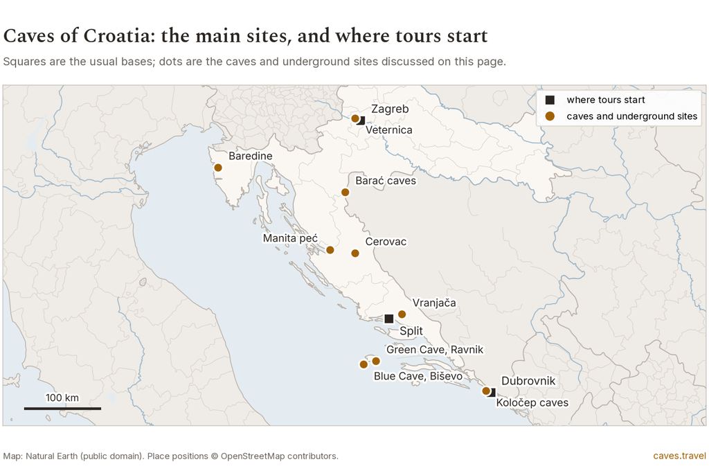
Sea caves. Biševo, Split and Hvar are best June to August; Dubrovnik only in July.
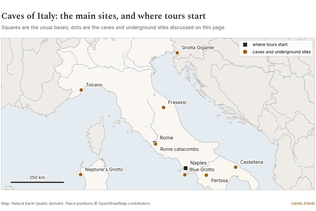
Italy
Blue Grotto best May to August. Catacombs and Naples tunnels barely change.
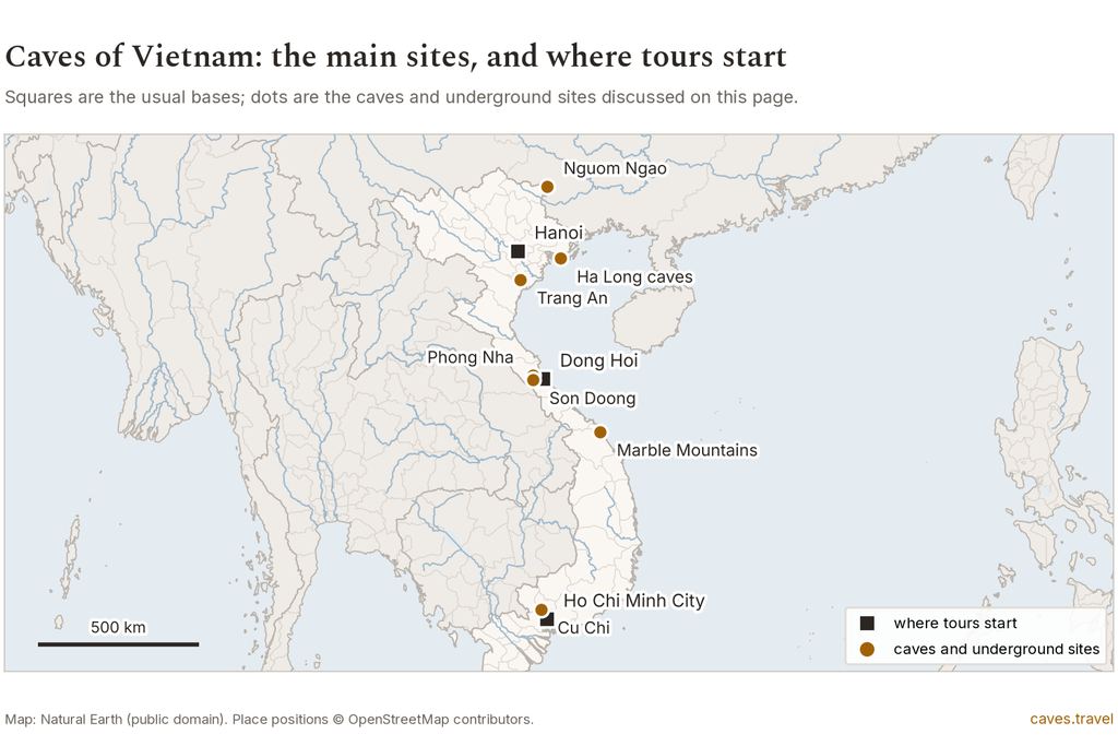
Vietnam
Rain sets the month: Ninh Bình November to April, Phong Nha January to April, Cu Chi December to March.
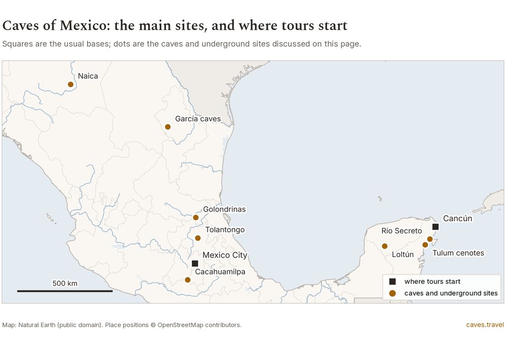
Mexico
Tulum cenotes best December to May. October is the wet month.
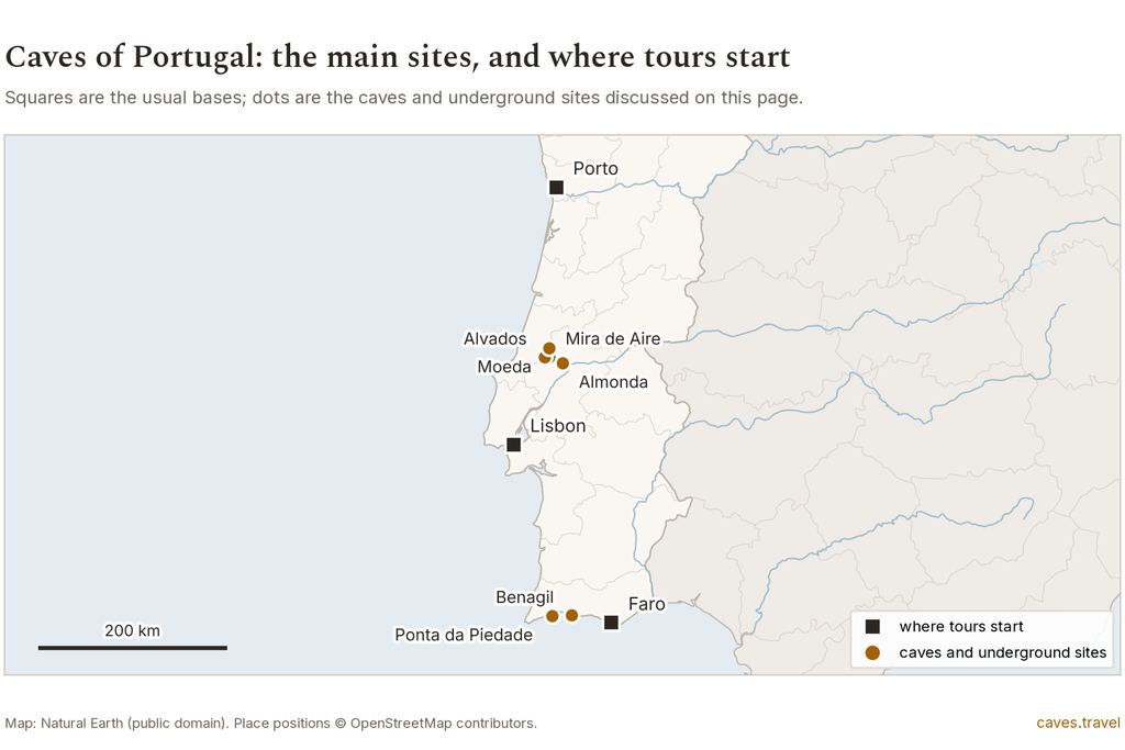
Portugal
Algarve sea caves best June to September. November is the one rough month.
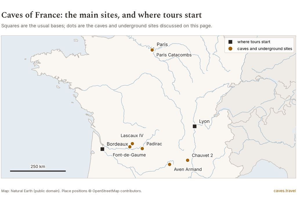
France
Paris Catacombs pleasant outside March to November. The cave changes little.
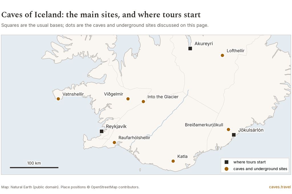
Iceland
Ice caves best December to March in the table. Check the park's rules first.
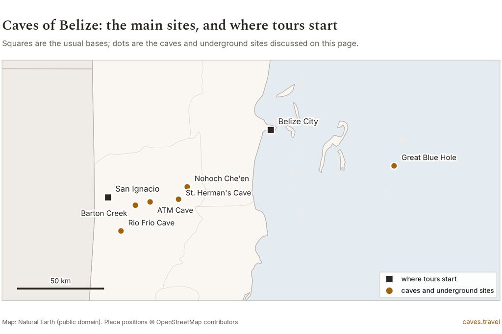
Belize
Cayo best February to April. October is the one month over 200 mm.
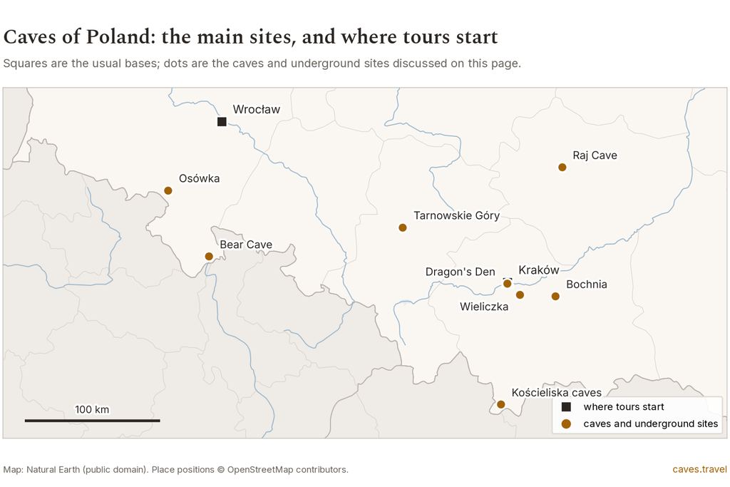
Poland
Wieliczka best April to October outside. Winter lows are below freezing.
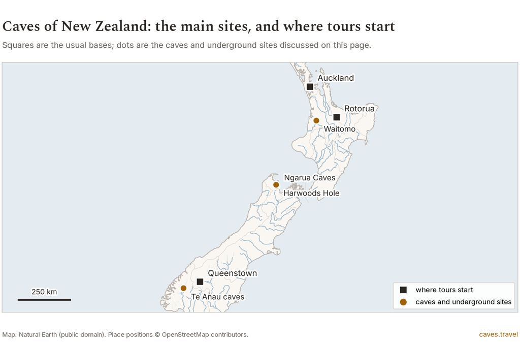
New Zealand
Waitomo best January to April and October to November, on the Southern calendar.
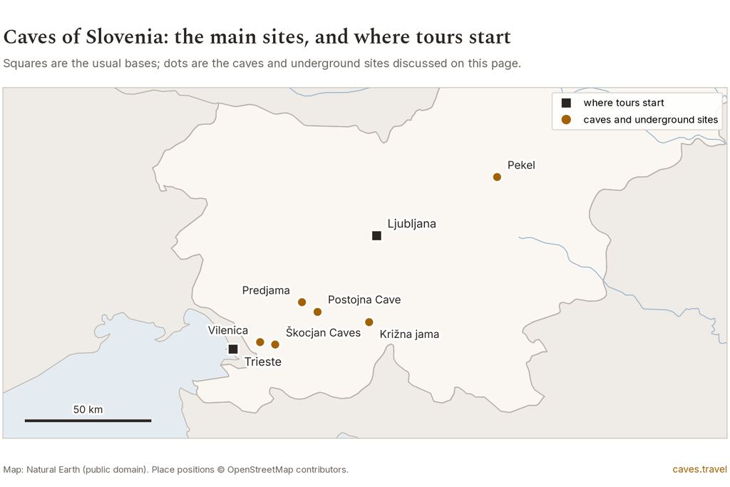
Slovenia
Postojna hardly changes by month. Winter nights drop below 0 °C outside.
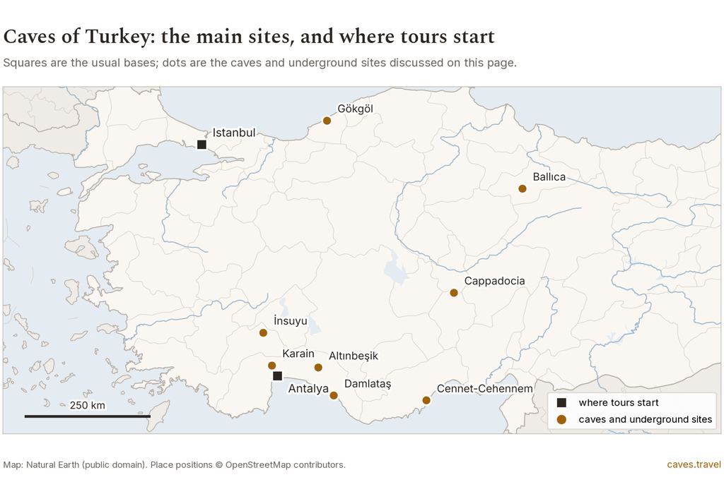
Turkey
Cappadocia best March to November. January highs are 4.1 °C at 1,260 m.
Questions about when to visit caves
Is there one best month to visit caves?
No. Sea caves favor June to August on the Adriatic and May to August at Capri. River caves favor the dry months. Ice caves are a winter product, and underground sites suit any month that suits the walk outside. The tables above give each destination its own answer.
Does the temperature inside a cave change with the season?
In deep caves it changes little, and operators of show caves publish a single figure for the year. The US National Park Service says the temperature tends to reflect the area's average annual temperature, with exceptions for caves with air currents or ice. See the cave temperature guide.
Is the rainy season a bad time for river caves?
It is when closures cluster, not a ban. The table marks months with 200 mm of rain or more as rough and months below that as workable. For Belize and Vietnam read caves in the rainy season, and ask the operator what happens to your booking if the river rises.
Can I visit ice caves in Iceland in summer?
The table colors June to October rough. Visit Iceland gives November to May as the typical season, and the national park closed all ice cave access in autumn 2024. The reasons are in ice caves: when they exist and why.
Why does this table disagree with a tourism board?
Boards weigh scenery, festivals and comfort. This table weighs rain, heat and the sea. Ninh Bình in June and Phong Nha in December are the two clearest cases, and both are explained above.
Some links on this site lead to tour listings. If you book through them, the site earns a commission and you pay nothing extra. The months above come from weather files and do not depend on which tours we list. To pick a place first, start with caves around the world.
Pick the destination, then check its month
Each destination page carries the local rules, the tours on offer and the cancellation terms to read before you pay.
Data verified on . Normals read 19 Oct 2026 from national weather services. Thresholds and station list in the climate dossier.